Urban floods and thermal stress are some of the key issues for many cities around the world. With climate change, these two issues may become more acute and contribute to serious problems in dense urban areas. Therefore, the sectors for public health and disaster management are in the need of tools that can assess the vulnerability to floods and thermal stress.
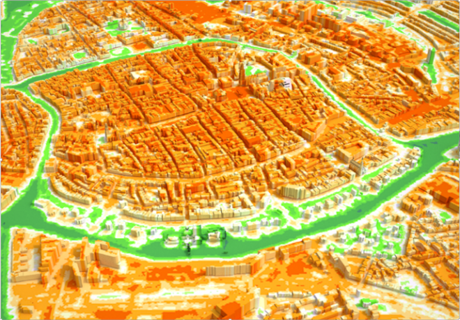
Combining the elevation model, the dataset with buildings and aerial photographs a 3d model of the city is created to get a better overview of the outcomes of the model. For the INXCES project a 3D visualisation is made for Groninge (see image).
Heatstress Groningen 3D